Here are 25 working models on various aspects of geography, each designed to illustrate different geographical concepts, processes, and phenomena:

- Volcano Model: Demonstrates the structure of a volcano and the process of an eruption using baking soda and vinegar.
- Earthquake Simulation: Shows how tectonic plates move and cause earthquakes, using a shake table and foam blocks.
- Water Cycle Model: Illustrates the stages of the water cycle, including evaporation, condensation, and precipitation.
- Erosion and Weathering: A model demonstrating how wind, water, and ice erode and weather rocks and soil over time.
- Glacier Movement: Shows how glaciers move and shape the landscape using a mixture of sand and ice.
- Topographic Map Model: A three-dimensional model of a landscape with contour lines to explain elevation and topography.
- River Delta Formation: Demonstrates how rivers create deltas at their mouths through sediment deposition.
- Climate Zones Model: A globe or map showing different climate zones around the world and their characteristics.
- Rainforest Ecosystem: A diorama depicting the layers of a rainforest and its biodiversity.
- Desert Landforms: A model showing various desert landforms such as dunes, oases, and mesas.
- Tsunami Simulation: Demonstrates how underwater earthquakes generate tsunamis using a water tank and wave generator.
- Plate Tectonics: A movable model showing the different types of plate boundaries: convergent, divergent, and transform.
- Cave Formation: Explains how caves and karst landscapes are formed through the dissolution of limestone.
- Ocean Currents: A model illustrating major ocean currents and how they affect climate and weather patterns.
- Hydroelectric Dam: Demonstrates how water is used to generate electricity in a hydroelectric dam.
- Tornado Formation: A simple model showing the formation and characteristics of tornadoes using a vortex.
- Mountain Building: Illustrates the process of mountain formation through tectonic forces and folding.
- Continental Drift: A puzzle model showing how continents have moved over geological time.
- Coastal Erosion: Demonstrates how waves and tides erode coastlines and create features like sea arches and stacks.
- Geyser Eruption: A working model of a geyser, explaining geothermal activity and how geysers erupt.
- Urban Planning: A model showing the layout of a sustainable city with green spaces, transport systems, and infrastructure.
- Floodplain Management: Demonstrates how floodplains work and methods to manage and mitigate flooding.
- Wind Turbine: A working model of a wind turbine generating electricity, explaining renewable energy sources.
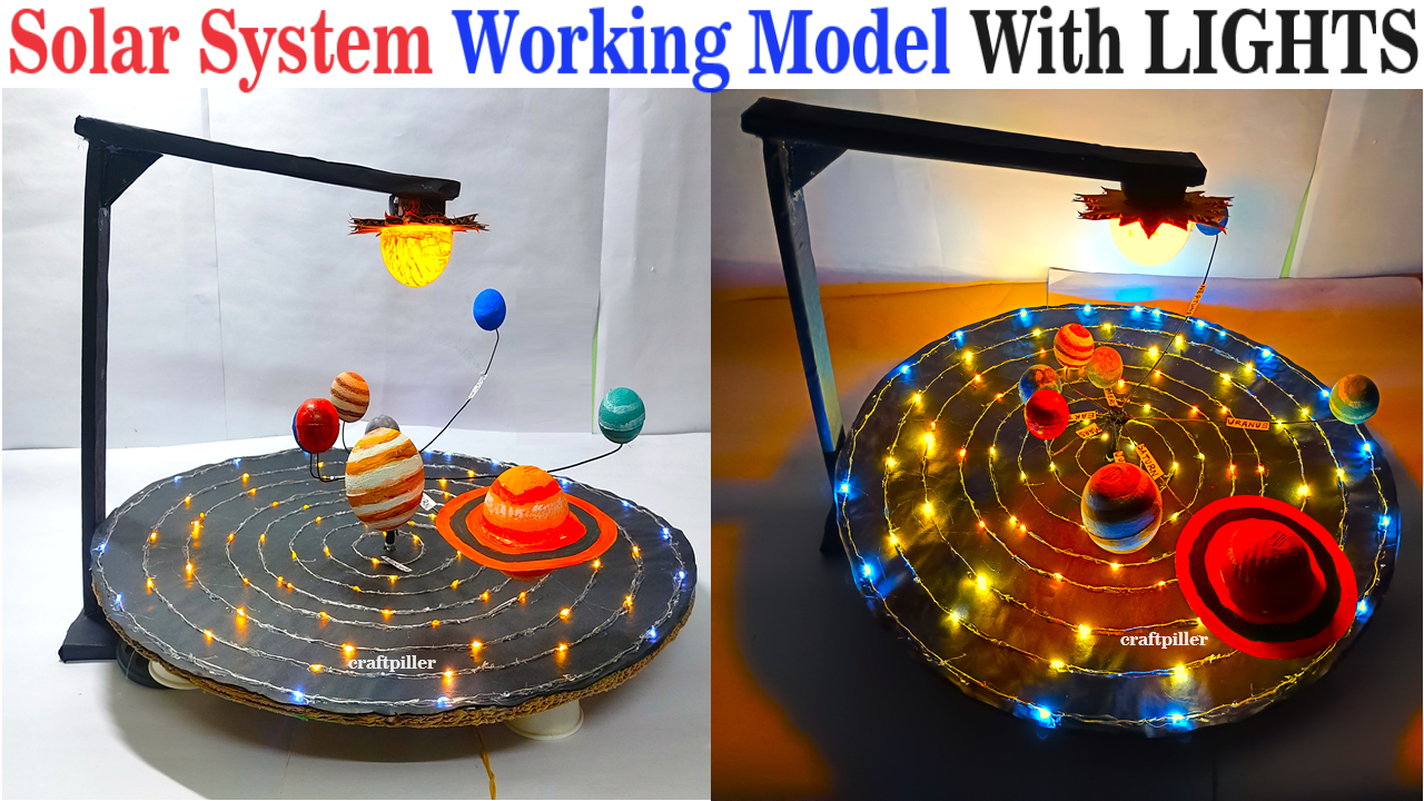
- Solar System Model: A representation of the solar system showing the orbits of planets around the sun.
- Natural Disaster Preparedness: A model community showing how to prepare for and mitigate the effects of natural disasters like floods, hurricanes, and earthquakes.
These models help illustrate key geographical concepts and processes, making them easier to understand and visualize.