
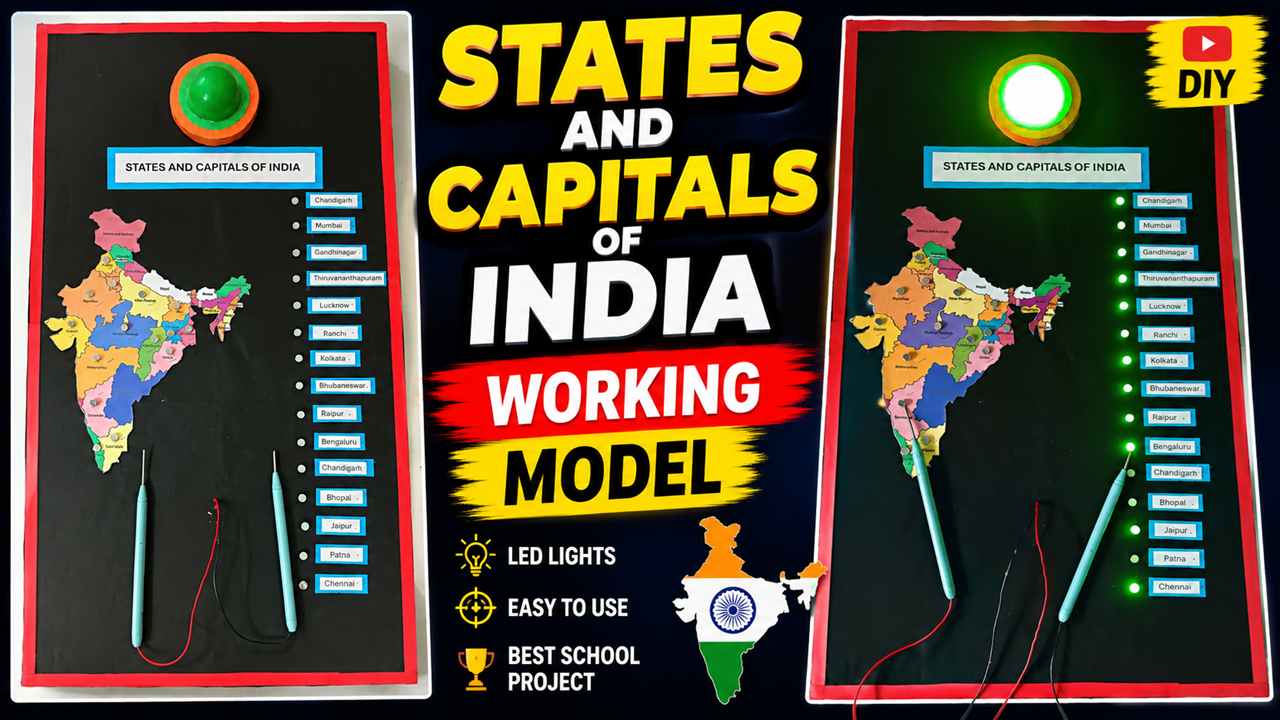
The States and Capitals of India Working Model is an innovative and interactive Social Science project for school exhibitions. This model combines geography with simple electrical circuits to help students learn the states and capitals of India in an interesting and practical way.
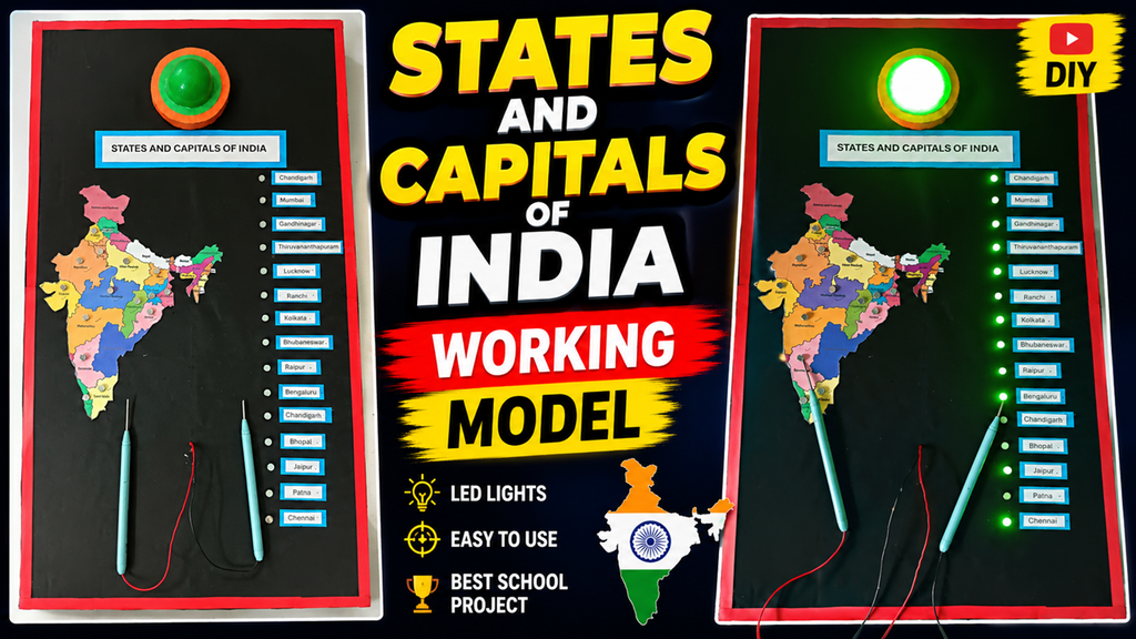
Instead of simply memorizing a list of states and capitals from a textbook, students can use this working model to identify a state and match it with its correct capital. When the correct points are connected using the wires or probes, an LED can light up and a buzzer can provide an indication. This makes learning more engaging and encourages students to participate actively.
Objective of the Project
The main objective of this project is to create an interactive India geography learning model that helps students understand the locations of Indian states and their capitals.
The project can help students:
- Learn the states and capitals of India
- Locate states on an India map
- Understand India’s geographical divisions
- Improve memory through hands-on learning
- Develop basic knowledge of electrical circuits
- Make Social Science learning more interactive
The model is particularly suitable for a school science exhibition, Social Science exhibition, geography project, DIY educational activity, or classroom teaching aid.
Materials Required
The model can be made using easily available materials:
- Cardboard or foam board
- Black chart paper
- India political map
- State and capital labels
- LEDs
- Connecting wires
- Conductive metal points or pins
- Battery
- Small buzzer
- Two connecting probes
- Resistors, where required
- Glue
- Scissors
- Tape
- Marker
- Decorative materials
The board can be bordered with colored paper to give it a clean and attractive exhibition appearance.
How to Make the Model
First, prepare a rectangular cardboard board and cover it with black chart paper. Place an India map prominently on the upper portion of the board.
Mark the states clearly on the map. Next to the map, prepare a column containing the names of the capitals.
Attach small conductive points near the state names and corresponding capital names. Each state can be connected internally to its correct capital.
The LEDs can be arranged beside the capital list. When the correct state-capital combination is selected using the two probes, the corresponding LED can glow.
A buzzer can also be included to indicate a correct or incorrect connection, depending on the circuit design.
How Does the Working Model Work?
The project is based on a simple electrical continuity circuit.
The student selects a state using one probe and then touches the capital that they think belongs to that state using the second probe.
If the connection corresponds to the correct pair, the electrical circuit is completed and the LED lights up. A buzzer can also sound to indicate the correct answer.
For example, a student selects Karnataka and then touches Bengaluru. If the circuit is connected correctly, the appropriate LED glows.
This creates an interactive question-and-answer system.
The same principle can be expanded to include many states and capitals.
Science Behind the Project
The model demonstrates the basic concept of an electrical circuit.
Electric current requires a suitable path to flow. When the correct state and capital points are connected, the circuit becomes complete, allowing current to pass through the LED.
The LED converts electrical energy into light energy. A buzzer converts electrical energy into sound.
Thus, the project combines geography and basic electronics.
Educational Importance
This model makes geography more enjoyable because students learn through observation, interaction, and practice.
For younger students, repeatedly matching states with capitals can improve recall. The map also helps students understand where different states are located within India.
Teachers can use the model as a classroom quiz by asking questions such as:
“What is the capital of Maharashtra?”
The student then selects Maharashtra and attempts to identify its capital. The LED provides immediate feedback.
This approach turns a conventional memorization activity into a hands-on learning experience.
Advantages
The States and Capitals working model has several advantages:
- Interactive learning – Students actively participate.
- Easy to understand – Visual and electrical feedback makes the concept simple.
- Low-cost – Basic materials are inexpensive.
- Educational – Combines geography with electronics.
- Reusable – Can be used repeatedly in classrooms.
- Exhibition-friendly – The lights make the project attractive.
- Improves memory – Repeated matching helps students remember information.
Exhibition Explanation
A student can explain the project like this:
“This is a working model of the States and Capitals of India. The purpose of this project is to make geography learning interactive. The state names are shown on the India map and the corresponding capitals are listed beside it. When we select a state and connect it to its correct capital using the probes, the electrical circuit is completed. The LED glows and the buzzer provides an indication. This project combines Social Science with basic electrical science and makes learning states and capitals more interesting.”
Conclusion
The States and Capitals of India Working Model is a creative and educational project for a Social Science or school science exhibition. It demonstrates that learning geography does not have to depend only on memorization. By combining a map, electrical connections, LEDs, and a buzzer, students can turn the learning process into an interactive game.
The project also encourages creativity, problem-solving, map-reading skills, and basic scientific understanding. With additional features such as an Arduino, digital display, score counter, and multiple-choice questions, the model can be developed into a complete interactive geography learning system.