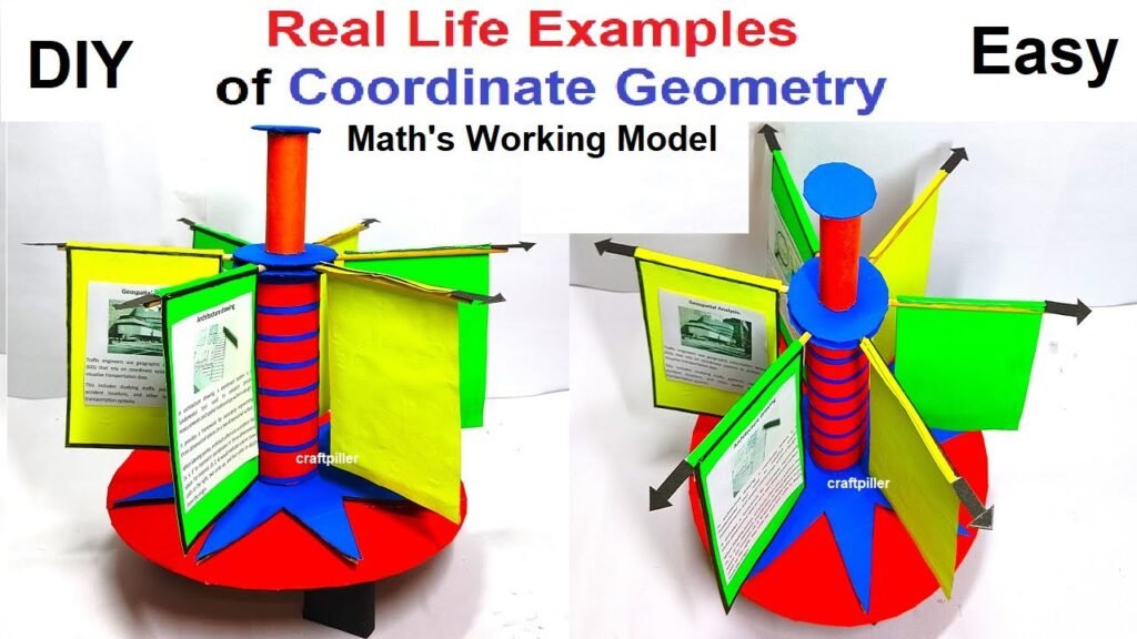
real life examples or applications of coordinate geometry working model – maths project – maths tlm – diy
Coordinate geometry, also known as analytic geometry, is a branch of mathematics that combines geometry with algebra. It’s widely used in various real-life applications.

Here are some examples:
- Navigation Systems (GPS):
- Global Positioning System (GPS) relies heavily on coordinate geometry. It uses satellite signals to determine precise locations on Earth’s surface, allowing for accurate navigation and mapping.
- Agriculture and Precision Farming:
- Farmers use GPS technology to precisely plant crops, apply fertilizers, and irrigate fields. This helps optimize resource use and increase crop yields.
- Architecture and Construction:
- Architects and engineers use coordinate geometry to create detailed plans for buildings, bridges, and other structures. It helps in accurately measuring dimensions, angles, and distances.
- Computer Graphics and Animation:
- In computer graphics, 3D models and animations are created using coordinate geometry. Points in 3D space are represented by coordinates, allowing for realistic rendering and animation.
- Robotics and Automation:
- Robots use coordinate geometry to determine their position in space. This is crucial for tasks like pick-and-place operations in manufacturing and assembly lines.
- Urban Planning and GIS:
- Geographic Information Systems (GIS) rely on coordinate geometry to store, analyze, and display spatial data. Urban planners use GIS to design and manage cities, including transportation networks and land use.
- Cartography and Map Making:
- Maps are created using coordinate geometry to accurately represent the Earth’s surface. This includes determining the locations of cities, landmarks, and geographic features.
- Surveying and Land Management:
- Surveyors use coordinate geometry to precisely measure and define property boundaries, create topographic maps, and conduct land assessments for development projects.
- Aviation and Aerospace:
- Pilots and aerospace engineers use coordinate geometry to navigate aircraft and spacecraft. It’s essential for flight planning, guidance systems, and trajectory calculations.
- Physics and Engineering:
- Coordinate geometry is used extensively in physics and engineering to analyze and design systems. This includes determining the trajectories of projectiles, modeling fluid flow, and designing mechanical components.
- Graphs and Data Analysis:
- Scatter plots, bar graphs, and other types of graphs used in data analysis are based on coordinate geometry. It helps visualize and analyze relationships between variables.
- Medical Imaging:
- Techniques like Magnetic Resonance Imaging (MRI) and Computerized Tomography (CT) scans use coordinate geometry to create detailed images of the inside of the human body.
- Game Development:
- In video game development, coordinate geometry is used to define the positions and movements of characters, objects, and environments within the game world.
- Traffic Engineering and Transportation Planning:
- Coordinate geometry is used to design and optimize traffic flow, plan road networks, and analyze transportation systems.
These examples demonstrate the wide-ranging applications of coordinate geometry across various fields, highlighting its importance in solving real-world problems and advancing technology.
#reallifeexamples #reallifeapplications #coordinategeometry #workingmodel #workingproject #mathstlm #mathsproject #diy #tlm mathsmodel #maths

