Table of Contents
- Introduction to Geostationary Satellites
- History and Development
- Principles of Satellite Orbits
- How Geostationary Satellites Work
- Components of a Geostationary Satellite
- Launching a Geostationary Satellite
- Applications of Geostationary Satellites
- Advantages and Disadvantages
- Maintenance and Lifespan
- Geostationary Satellites vs. Other Satellites
- Environmental Impact
- Future Developments in Satellite Technology
- Conclusion
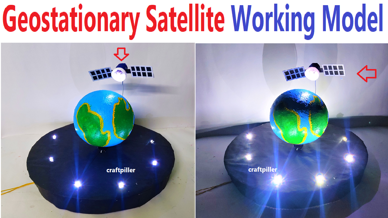
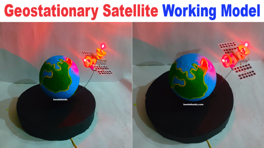
1. Introduction to Geostationary Satellites

Geostationary satellites are a type of artificial satellite that orbit the Earth at the same rotational speed as the Earth.
This means they stay fixed over one spot on the Earth’s surface, making them incredibly useful for communication, weather forecasting, and various other applications.
2. History and Development
The concept of geostationary satellites was first proposed by science fiction writer Arthur C. Clarke in 1945. He envisioned a network of satellites that could provide global communication.
The first successful geostationary satellite, Syncom 3, was launched by NASA in 1964, marking a significant milestone in space technology.
3. Principles of Satellite Orbits
Satellites can orbit the Earth in various ways, but geostationary satellites follow a specific path:
- Geosynchronous Orbit: A satellite in geosynchronous orbit completes one orbit around the Earth in exactly 24 hours, matching the Earth’s rotation.
- Geostationary Orbit: This is a special type of geosynchronous orbit where the satellite is positioned directly above the equator at an altitude of approximately 35,786 kilometers (22,236 miles). This specific location allows the satellite to remain fixed over one geographical point.
4. How Geostationary Satellites Work

Geostationary satellites function based on the principles of orbital mechanics and gravity:
- Stable Positioning: By orbiting at the Earth’s rotational speed and at the right altitude, the satellite appears stationary relative to the Earth’s surface.
- Communication Links: These satellites have transponders that receive signals from Earth, amplify them, and retransmit them back to different locations on Earth. This process enables long-distance communication.
- Weather Observation: Equipped with cameras and sensors, geostationary satellites continuously monitor weather patterns and environmental changes over specific regions.
5. Components of a Geostationary Satellite
A geostationary satellite is composed of several essential parts:
- Solar Panels: These generate power by converting sunlight into electricity.
- Transponders: Devices that receive, amplify, and transmit signals.
- Antenna: Used for sending and receiving signals to and from the Earth.
- Propulsion System: Helps in adjusting the satellite’s position and orbit.
- Sensors and Cameras: Used for observation and data collection.
6. Launching a Geostationary Satellite
The process of launching a geostationary satellite involves several steps:
- Design and Construction: The satellite is built and tested on the ground.
- Launch Vehicle: A rocket, also known as a launch vehicle, carries the satellite into space.
- Transfer Orbit: Initially, the satellite is placed in a lower orbit (transfer orbit) and then gradually moved to its final geostationary position using onboard propulsion.
- Deployment: Once in position, the satellite deploys its solar panels and antennas and begins its mission.
7. Applications of Geostationary Satellites
Geostationary satellites have numerous applications, including:
- Communication: They enable global telecommunications, broadcasting, and internet services.
- Weather Forecasting: Satellites like GOES (Geostationary Operational Environmental Satellite) provide real-time weather data.
- Navigation: Some satellites support GPS and other navigation systems.
- Disaster Management: They assist in monitoring and responding to natural disasters by providing crucial data.
8. Advantages and Disadvantages
Advantages:
- Continuous Coverage: They provide constant monitoring of a specific area.
- Reliable Communication: Essential for television broadcasts, radio, and internet services.
- Wide Coverage: A single geostationary satellite can cover about one-third of the Earth’s surface.
Disadvantages:
- High Altitude: Signals must travel a long distance, which can introduce latency in communication.
- Cost: Building and launching geostationary satellites is expensive.
- Limited Coverage: They are less effective at covering polar regions.
9. Maintenance and Lifespan
Geostationary satellites have a typical lifespan of 10-15 years, depending on their design and mission. Maintaining a geostationary satellite involves:
- Station-Keeping: Periodic adjustments to keep the satellite in its correct position.
- Fuel Management: Efficient use of onboard fuel to prolong the satellite’s operational life.
- Technology Upgrades: Some satellites can be upgraded with new technology to extend their functionality.
10. Geostationary Satellites vs. Other Satellites
Geostationary satellites are different from other types of satellites, such as:
- Low Earth Orbit (LEO) Satellites: These orbit much closer to the Earth and move quickly across the sky. They are used for applications requiring low latency, like satellite phones.
- Medium Earth Orbit (MEO) Satellites: These are positioned between LEO and geostationary orbits, often used for navigation systems like GPS.
- Polar Orbiting Satellites: These move over the Earth’s poles and provide global coverage over time, ideal for Earth observation and mapping.
11. Environmental Impact
While geostationary satellites provide significant benefits, they also have environmental impacts:
- Space Debris: Defunct satellites and spent rocket stages contribute to space debris, which poses risks to operational satellites.
- Radiation: Satellites must be designed to withstand harsh radiation in space, which can degrade their components over time.
- Launch Pollution: Rocket launches emit pollutants and contribute to atmospheric pollution.
12. Future Developments in Satellite Technology
The future of geostationary satellites includes several exciting advancements:
- Smaller Satellites: Miniaturization of technology allows for smaller, more cost-effective satellites.
- Improved Propulsion: Advances in propulsion systems will enhance station-keeping and extend satellite lifespans.
- High-Throughput Satellites (HTS): These satellites offer significantly increased data transmission capacity.
- Integration with Other Orbits: Combining geostationary satellites with LEO and MEO constellations to provide comprehensive global coverage.
13. Conclusion
Geostationary satellites play a crucial role in modern communication, weather forecasting, and many other applications.
Understanding their operation, benefits, and challenges helps us appreciate the technology that connects our world.
As advancements continue, geostationary satellites will become even more efficient, expanding their capabilities and contributing to a more connected and informed society.