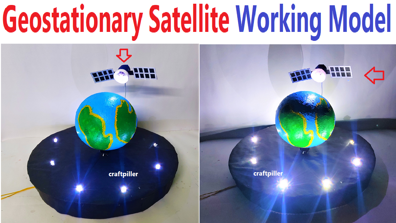
geostationary satellite explanation
A geostationary satellite is a type of artificial satellite that orbits the Earth at the same rate and direction as the Earth’s rotation.

A geostationary satellite is a type of satellite that orbits the Earth at the same rotational speed as the Earth itself, making it appear stationary relative to a fixed point on the Earth’s surface.
These satellites are positioned in geostationary orbits, also known as geosynchronous orbits, located at an altitude of approximately 35,786 kilometers (22,236 miles) above the Earth’s equator.
The geostationary orbit allows the satellite to complete one orbit around the Earth in the same amount of time it takes the Earth to complete one rotation on its axis.
Here’s a breakdown of the key features and characteristics of geostationary satellites:
- Orbit Characteristics:
- Altitude: Geostationary satellites orbit at an altitude of approximately 35,786 kilometers above the Earth’s equator.
- Orbital Period: The orbital period of a geostationary satellite is approximately 24 hours, which is the same as the Earth’s rotational period.
- Fixed Position Relative to Earth:
- A geostationary satellite is positioned directly above the same point on the Earth’s equator. This stationary position allows the satellite to provide continuous coverage to a specific region on the Earth’s surface.
- Applications:
- Communication Satellites: Geostationary satellites are commonly used for communication purposes, including television broadcasting, telecommunications, and internet services. The fixed position allows ground-based antennas to point at the satellite consistently.
- Weather Satellites: Some weather satellites are placed in geostationary orbits, providing continuous monitoring of weather patterns over specific regions. This is crucial for real-time weather forecasting and monitoring.
- Earth Observation: Certain Earth observation satellites are placed in geostationary orbits to observe specific regions continuously, such as monitoring environmental changes, wildfires, and atmospheric conditions.

This means that the satellite appears to remain stationary relative to a fixed point on the Earth’s surface, making it seem as though the satellite is “fixed” in the sky.
Geostationary satellites are also referred to as geosynchronous satellites.
#geostationarysatellite #workingmodel #scienceexhibition #scienceproject #sciencemodel #satelllite #model making